| dc.contributor.author | Stranzl, Sebastian Franz | |
| dc.contributor.author | Pulg, Ulrich | |
| dc.contributor.author | Postler, Christoph | |
| dc.contributor.author | Hauer, Christoph | |
| dc.contributor.author | Floedl, P. | |
| dc.date.accessioned | 2023-02-22T09:03:38Z | |
| dc.date.available | 2023-02-22T09:03:38Z | |
| dc.date.created | 2023-02-21T11:25:54Z | |
| dc.date.issued | 2022 | |
| dc.identifier.uri | https://hdl.handle.net/11250/3053017 | |
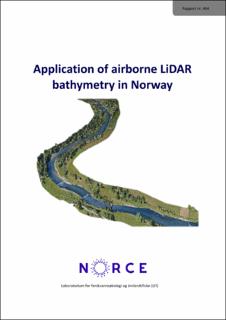
| dc.description.abstract | New technologies in remote sensing provide opportunities for effectively sampling information on topography and bathymetry for large areas. With Airborne LiDAR Bathymetry (ALB) terrain and also the river bottom (bathymetry) can be measured with high accuracy. In this report we present our contributions to 1) validation, 2) flood risk analysis and mitigation, and 3) river restoration. All rivers could be classified to river types according to Hauer & Pulg (2018) from remote sensing data only. ALB data can be much faster than other surveying or mapping methods and has higher accuracy. Ecological information can be acquired from ALB data in higher resolution than with other methods, and also parameters like grain size and shelter have a high correlation with ALB derivates. The ALB datasets can be used for planning and assessing ecological and flood related questions from the desktop with a strongly reduced requirement for field work compared to data from other data sources, additionally giving a model verification with much higher accuracy and detail degree than other methods. ALB can therefore improve planning safety and speed up planning and modelling process for high- flow, low-flow, morphodynamics and ecological applications. The Lærdal flood case study shows that advances in remote sensing can be used to develop and model nature-based and integrated solutions for improving flood safety and ecological status. | |
| dc.description.abstract | Application of airborne LiDAR bathymetry in Norway | |
| dc.language.iso | eng | |
| dc.publisher | NORCE Norwegian Research Centre | |
| dc.relation.ispartof | LFI - Laboratorium for ferskvannsøkologi og innlandsfiske | |
| dc.relation.ispartofseries | LFI - Laboratorium for ferskvannsøkologi og innlandsfiske | |
| dc.title | Application of airborne LiDAR bathymetry in Norway | |
| dc.title.alternative | Application of airborne LiDAR bathymetry in Norway | |
| dc.type | Research report | |
| dc.description.version | publishedVersion | |
| cristin.ispublished | true | |
| cristin.fulltext | original | |
| dc.identifier.cristin | 2127789 | |
| dc.source.issue | 464 | |
| dc.source.pagenumber | 74 | |
