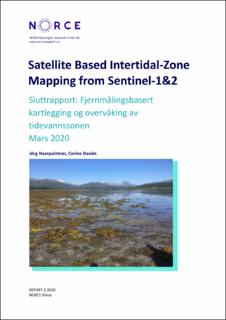
| dc.contributor.author | Haarpaintner, Jörg | |
| dc.contributor.author | Davids, Corine | |
| dc.coverage.spatial | Trondheim, Norway | en_US |
| dc.date.accessioned | 2020-04-06T10:55:41Z | |
| dc.date.available | 2020-04-06T10:55:41Z | |
| dc.date.issued | 2020 | |
| dc.identifier.isbn | 978-82-8408-070-3 | |
| dc.identifier.uri | https://hdl.handle.net/11250/2650471 | |
| dc.description.abstract | The report describes developed methods and results based on radar and optical high resolution (10-20m) satellite imagery from Sentinel-1 C-band synthetic aperture radars (C-SAR) S1A and S1B and Sentinel-2 MultiSpectral Instruments (MSI) S2A and S2B from the European Copernicus Program to map the intertidal zone in Trondheimsfjorden, Norway, with the aim to extend it nationally. | en_US |
| dc.description.sponsorship | Miljødirektoratet | en_US |
| dc.language.iso | eng | en_US |
| dc.publisher | NORCE Klima | en_US |
| dc.title | Satellite Based Intertidal-Zone Mapping from Sentinel-1&2 | en_US |
| dc.title.alternative | Sluttrapport: Fjernmålingsbasert kartlegging og overvåking av tidevannssonen. | en_US |
| dc.type | Research report | en_US |
| dc.identifier.cristin | 1805441 | |
| dc.source.pagenumber | 57 | en_US |
| dc.subject.nsi | Naturvitenskap | en_US |
